Course
Two 42 km loops between the track and the Ardennes gravel.
Distance85.7 km
Elevation1,770 m
Loops2 × 42 km
High point531 m
Feed zones2 per loop
The map
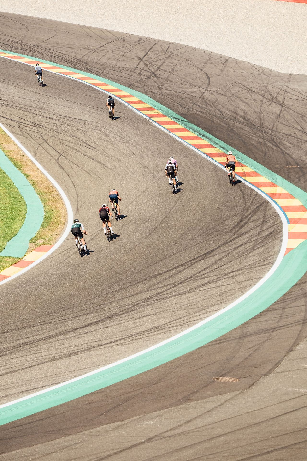
One loop of the course. Lap two starts with a pass through the pit lane and the F1 garages.
F1 circuit
Road
Gravel
Singletrack
Feed zone
What is under your wheels
53 %Gravel · 45.5 km
30 %Roads · 25.3 km
13 %F1 circuit · 11.2 km
4 %Singletrack · 3.6 km
Profile
Key points
Tyres: 40 to 50 mm
A fast course with little singletrack and few rocky sections. A fast-rolling semi-slick does the job, no need for big tyres.
- 0 kmStart in the pit lane, up the Raidillon.
- 3 kmEnd of tarmac, first gravel.
- 15 kmFeed zone 1 at the Raidillon.Feed station at the same spot.
- 25 kmFeed zone 2 at Mont des Brumes.The ski station. Feed station at the same spot.
- 35 kmHigh point, 531 m.
- 42 kmFinish line, pit lane and F1 garages.Start of lap two.
- 58 kmFeed zone 1 at the Raidillon.
- 69 kmFeed zone 2 at Mont des Brumes.
- 85.7 kmFinish on the main straight.
Feed zone distances [to be confirmed].
The route on Komoot
Download the GPX or open the interactive map. The Discovery 50 and 100 km routes are being finalised: until then, it is the race route.
Entries open soon
Leave your email and you will be the first to know when entries open.